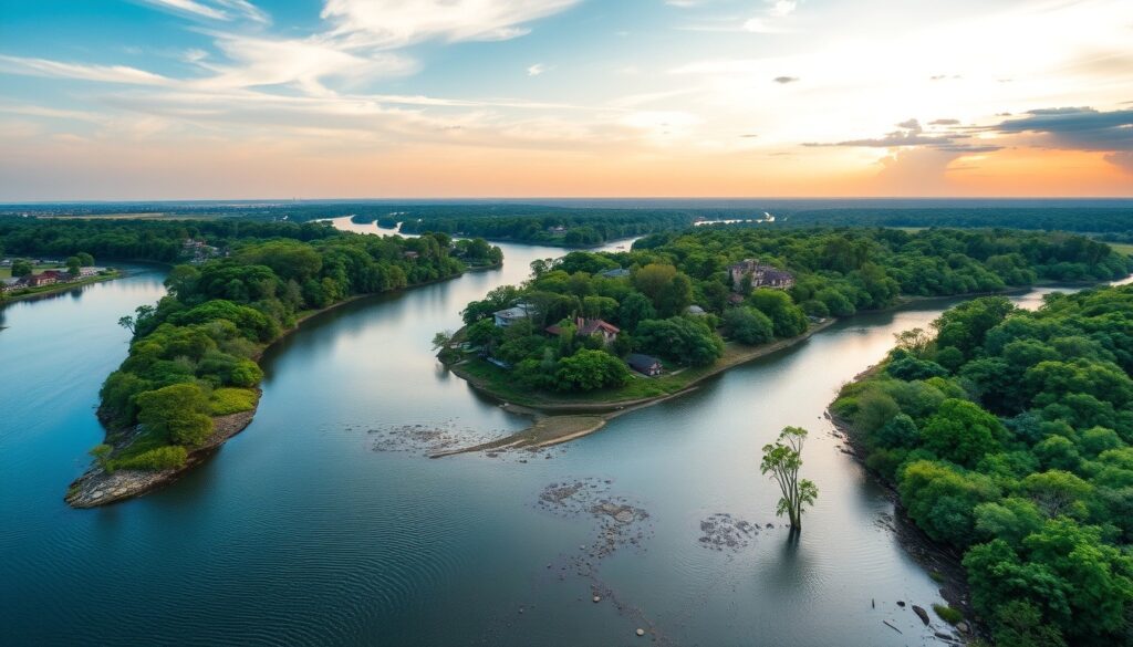
Unveiling North Georgia’s Blue Highways: A Definitive Navigator’s Guide to Our Historic Waterways
Atlanta, a city born from rail lines, might seem far removed from the romanticized coastal and inland waterways that shaped much of America. Yet, for those of us living in the heart of the South, a vibrant network of ‘Blue Highways’ – our own historic rivers and sprawling lakes – flows through North Georgia, whispering tales of ancient civilizations, pioneer spirit, and industrial innovation. Drawing inspiration from the meticulous research compiled in *The Blue Highway: The Definitive Navigator’s Guide to America’s Historic Coastal & Inland Waterways*, we delve into the aquatic arteries that define our region, offering a definitive guide to exploring their timeless beauty and historical significance.
North Georgia’s unique geography, nestled between the Appalachian foothills and the rolling Piedmont, has always been shaped by water. From the mighty Chattahoochee, carving its path through metro Atlanta, to the ancient Etowah and Coosa rivers, winding through Cherokee lands, these waterways were once the superhighways of indigenous peoples, early settlers, and burgeoning industries. Today, they offer unparalleled opportunities for outdoor recreation, historical exploration, and a deeper connection to the land beneath our feet.
The Chattahoochee Corridor: Atlanta’s Liquid Lifeline & National Treasure
No discussion of North Georgia waterways is complete without the Chattahoochee River. Originating in the Blue Ridge Mountains, it forms the economic and recreational backbone of metro Atlanta, flowing through the National Park Service’s Chattahoochee River National Recreation Area (CRNRA). This 48-mile stretch, often referred to as "Atlanta’s backyard," is a prime example of an urban "Blue Highway," offering solace and adventure just minutes from the city’s hustle.
Historically, the Chattahoochee was a vital transportation route. Imagine early flatboats navigating its currents, carrying goods to market or supplies to nascent settlements. While large-scale commercial navigation is a distant memory, its legacy as a corridor of movement persists through recreational boating. The CRNRA features 16 individual units, each offering unique access points and experiences. For paddlers, the river presents a range of options, from tranquil stretches perfect for beginner kayakers and stand-up paddleboarders to faster sections ideal for experienced canoeists. Popular put-in and take-out points include Johnson Ferry, Powers Island, and Abbotts Bridge, offering half-day to full-day excursions.
Actionable Advice: Plan your float by checking river levels and currents. The National Park Service provides detailed maps and alerts. Consider a guided trip from one of the many local outfitters for your first Chattahoochee adventure. Remember, what flows through Atlanta eventually reaches the Gulf of Mexico, connecting us to a much larger aquatic network.
Tracing Ancient Currents: The Etowah & Coosa River Systems
Venture north and west of Atlanta, and you’ll encounter the historic Etowah and Coosa River systems, flowing towards Alabama and eventually the Gulf. These rivers represent some of the most historically rich "Blue Highways" in Georgia. The Etowah River, in particular, was the heartland of the Cherokee Nation and home to the Mississippian culture, evidenced by the Etowah Indian Mounds State Historic Site in Cartersville.
The Coosa River, formed by the confluence of the Etowah and Oostanaula rivers near Rome, GA, was once a critical artery for early European exploration, the infamous Georgia Gold Rush, and later, for transporting timber and cotton. These rivers offer a wilder, more secluded paddling experience than the Chattahoochee, inviting explorers to connect with deeper historical layers. Imagine the paddle wheels of early steamboats attempting to navigate the Coosa’s rocky shoals in the 19th century, a testament to the ambitions tied to these inland waterways.
Actionable Advice: Exploring the Etowah and Coosa requires more self-sufficiency. Look for public boat ramps in areas like Canton, Cartersville, and Rome. The USDA Forest Service – Chattahoochee-Oconee National Forests manage significant portions of land bordering these rivers, offering primitive camping and hiking trails that complement river excursions. These routes are perfect for multi-day canoe trips, where you can trace the footsteps of ancient peoples and discover remnants of forgotten river towns.
Modern Marvels: Lake Lanier, Allatoona & Beyond
While "The Blue Highway" traditionally evokes natural waterways, North Georgia’s majestic man-made lakes – Lake Lanier and Lake Allatoona – exemplify how modern engineering can extend and transform the concept of an inland waterway. Built atop historic riverbeds (the Chattahoochee and Etowah, respectively), these reservoirs are now vast "blue highways" of their own, serving as critical sources of water, hydroelectric power, and immense recreational hubs.
The construction of these dams in the mid-20th century, notably by the U.S. Army Corps of Engineers, marked a significant chapter in federal investment in water resources and infrastructure, as documented in authoritative government archives like the FRASER – Reports of the Chief of Engineers, U.S. Army. Lake Lanier alone boasts over 690 miles of shoreline, making it a paradise for motorboating, sailing, jet-skiing, and fishing. Lake Allatoona, though smaller, offers equally impressive opportunities, with numerous marinas, campgrounds, and public beaches.
Actionable Advice: These lakes are well-equipped for all forms of water recreation. Rent a pontoon boat for a family day, charter a fishing guide, or explore hidden coves with a kayak. Always prioritize safety: wear life vests, be aware of boat traffic, and monitor weather conditions. Remember, these vast waterways were once flowing rivers, submerged to serve a new purpose, yet still part of Georgia’s dynamic aquatic story.
Navigating Your North Georgia Blue Highway: Essential Planning
Embarking on an exploration of North Georgia’s Blue Highways requires thoughtful preparation to ensure both safety and enjoyment. Regardless of your chosen waterway – a placid stretch of the Chattahoochee, a historic section of the Etowah, or the expansive waters of Lake Lanier – certain principles apply:
- Gear Up Smart: Always wear a personal flotation device (PFD), even if you’re a strong swimmer. Pack plenty of water, sunscreen, a first-aid kit, and weather-appropriate clothing. For river trips, waterproof bags for essentials are a must.
- Know Your Route & Conditions: Research access points, potential hazards (rapids, dams, submerged obstacles), and estimated trip times. Check water levels and weather forecasts before heading out. Strong currents can be deceptive.
- Leave No Trace: Pack out everything you pack in. Respect wildlife and natural habitats. Stay on designated trails and camping areas when on shore. Preserve the beauty and history of these waterways for future generations.
- Respect Private Property: While rivers are public domain, the land along their banks often isn’t. Be mindful of property lines and only access waterways from public put-in points.
North Georgia’s historic waterways offer a tangible link to our past and an invigorating escape in the present. They invite us to slow down, listen to the rhythm of the water, and discover the hidden beauty and untold stories that flow through our landscape.
Deepen Your Blue Highway Exploration!
This article offers just a glimpse into the rich world of America’s historic waterways. To truly become a master navigator of these captivating liquid routes, secure your copy of the full hardcover edition, The Blue Highway: The Definitive Navigator’s Guide to America’s Historic Coastal & Inland Waterways. For hands-on learning, don’t miss the companion masterclass on TodaysCourse, featuring expert insights and interactive lessons to equip you for your next great aquatic adventure!
From Atlanta’s doorstep to the ancient Appalachian foothills, our region’s "Blue Highways" are waiting to be explored. Grab your paddle, launch your boat, and embark on an unforgettable journey through North Georgia’s living history.
Deepen Your Mastery: The Complete Reference Suite
This research is derived from the definitive edition of The Blue Highway: The Definitive Navigator’s Guide to America’s Historic Coastal & Inland Waterways, published by Mestizo Media Group and available for $19.99 on the DC Life Gallery Store and major booksellers.
To access the accompanying 5-module video masterclass, student field worksheets, and soil chemistry blueprints, enroll in the companion course on TodaysCourse Academy.
Curated Literature & Atlanta Downtown Calendar
The Architecture of Focus: Deep Work & Modern Mastery
By Founders Library Press
A structured framework for strategic clarity, productivity, and authentic execution.
Upcoming Downtown Happenings
Live acoustic sessions, gallery receptions, literary salons, and independent trade shows across Atlanta.